28 Sep 2026
Blending Satellite Positioning with Established Equine Performance Reviews
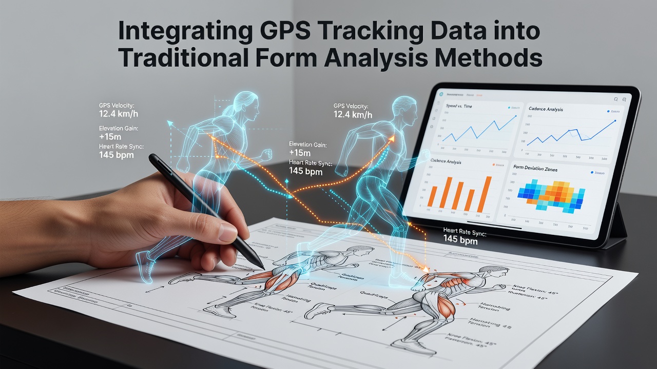
Traditional form analysis has long relied on past race results, sectional times, and trainer comments to assess equine competitors, yet recent advancements allow integration of precise location data from GPS devices. Researchers have documented how these systems capture speed, stride length, and path efficiency in real time during both workouts and races, which supplements paper records that often overlook micro-variations in effort.
Core Elements of Conventional Form Evaluation
Analysts continue to examine win rates, distance preferences, and track conditions when compiling profiles for upcoming events, and data from multiple seasons shows that horses with consistent closing splits tend to repeat patterns on similar surfaces. Those who study form note that variables such as weight carried and jockey changes influence outcomes, while historical charts provide the baseline for probability estimates across thousands of runners annually.
Introduction of GPS Metrics into Daily Operations
Devices mounted on saddles or girth straps transmit coordinates several times per second, generating heat maps of racing lines and acceleration zones that trainers review alongside video replays. According to reports from the International Federation of Horseracing Authorities, several jurisdictions began mandating GPS units in barrier trials by 2024, and figures reveal that over 12,000 individual horse sessions were logged in Australia alone during the 2025 calendar year. This positional layer adds quantitative layers to subjective observations about a horse's willingness to extend or conserve energy mid-race.
One study conducted by veterinary researchers at the University of Sydney demonstrated that GPS-derived stride frequency correlates strongly with final placement in sprint distances under 1400 metres, whereas longer events highlight stamina metrics such as sustained velocity after the 800-metre mark. Observers note that combining these readings with traditional form sheets allows more granular filtering of contenders who may appear similar on paper but differ markedly in biomechanical efficiency.
Practical Integration Workflows
Teams first export raw GPS files into analysis software that overlays speed curves onto existing race replays, then cross-reference those curves against historical sectional data for the same animal. Trainers often adjust training regimens when GPS shows a horse deviating from its optimal racing line on turns, and this adjustment process feeds back into updated form notes that future bettors or handicappers consult. The process remains iterative because each new race adds both conventional results and fresh positional statistics to the database.
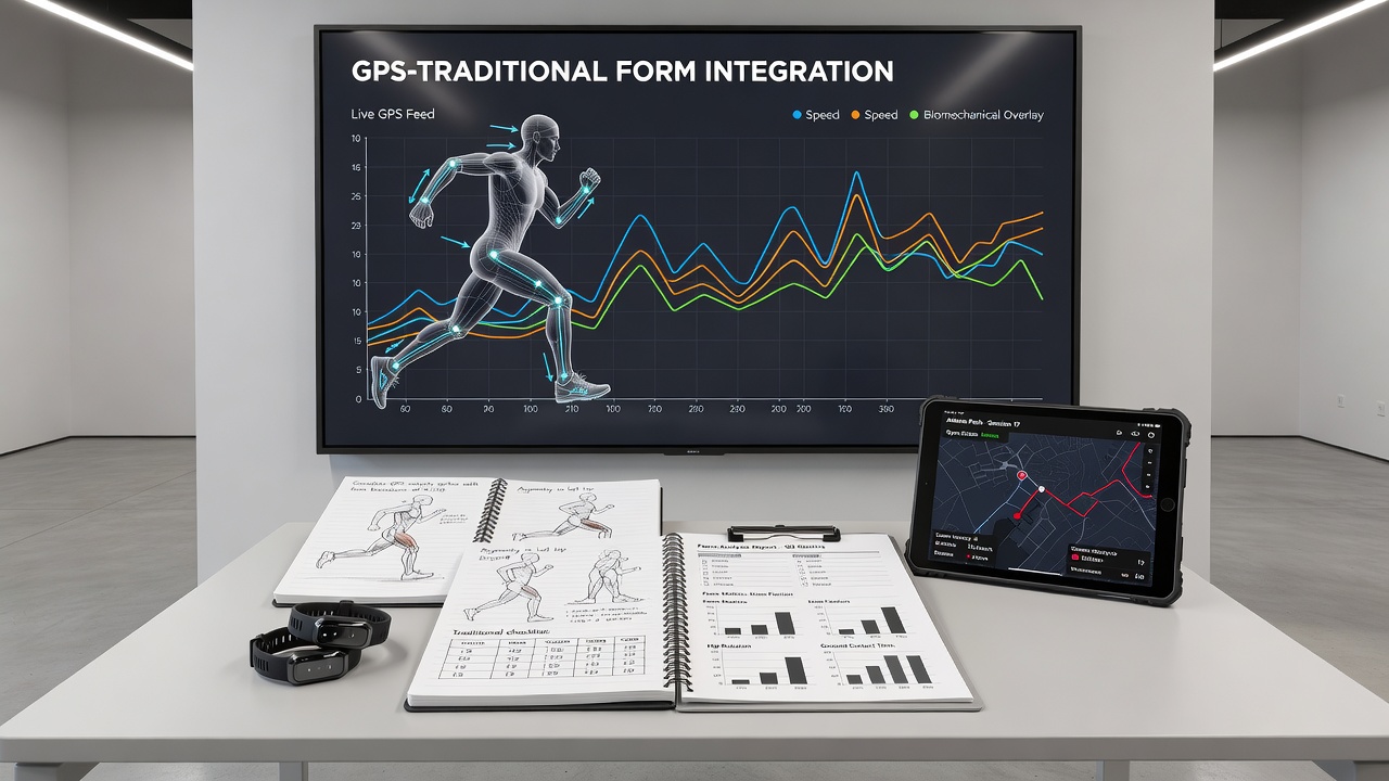
Software platforms now accept both legacy result imports and live GPS streams, creating unified dashboards that display distance covered at various intensity thresholds. Data from Canadian Thoroughbred racing authorities indicates that tracks equipped with integrated timing and positioning systems reduced manual data entry errors by approximately 18 percent during the 2025 season, allowing analysts more time to interpret rather than compile numbers.
Seasonal Patterns and September 2026 Outlook
Equine athletes exhibit measurable changes in GPS-tracked parameters as ground conditions shift with weather cycles, and studies tracking cohorts over multiple years confirm that stride length shortens on firmer surfaces while heart-rate recovery intervals lengthen. In September 2026, several major racing jurisdictions plan to release aggregated GPS datasets covering the previous three seasons, which will enable longitudinal comparisons that link early-career positional data to later peak performance windows.
Those analysing these forthcoming releases expect clearer benchmarks for identifying horses whose GPS profiles deviate from established form trends, particularly when international shipments introduce animals acclimating to new hemispheres and track geometries.
Limitations and Data Quality Considerations
Signal loss in covered parade rings or dense urban training centres occasionally creates gaps in recordings, and analysts must interpolate missing segments using video timestamps to maintain dataset integrity. Regulatory bodies in multiple regions require calibration checks on GPS units before official use, and compliance documentation shows that variance thresholds remain below two metres for 95 percent of logged points in controlled tests.
Conclusion
Integration of satellite positioning data expands the resolution available to those evaluating equine form without replacing the foundational role of historical results and contextual factors. As more jurisdictions adopt standardised GPS protocols, unified datasets continue to emerge that connect traditional charting methods with biomechanical measurements collected across thousands of competitive efforts each year.